
In franklin,there is a street known as Oak Street Extension, which, logically, continues from the main thoroughfare where the High School is located, called Oak Street, down toward the swampy lowlands of mine brook that approximate the border between Franklin and Bellingham.
The street ends today, abruptly, at a “rain garden and a sharp turn takes traffic onto Schofield Drive.
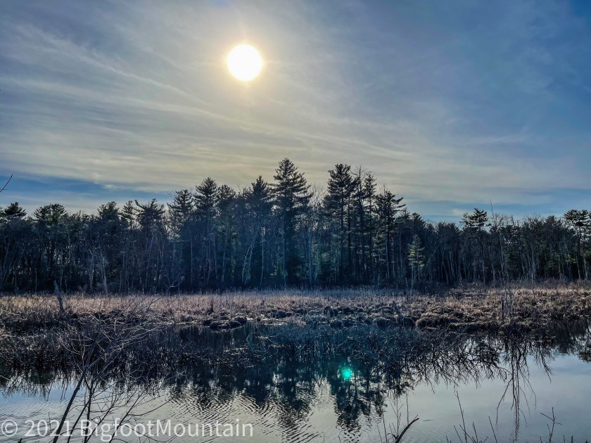
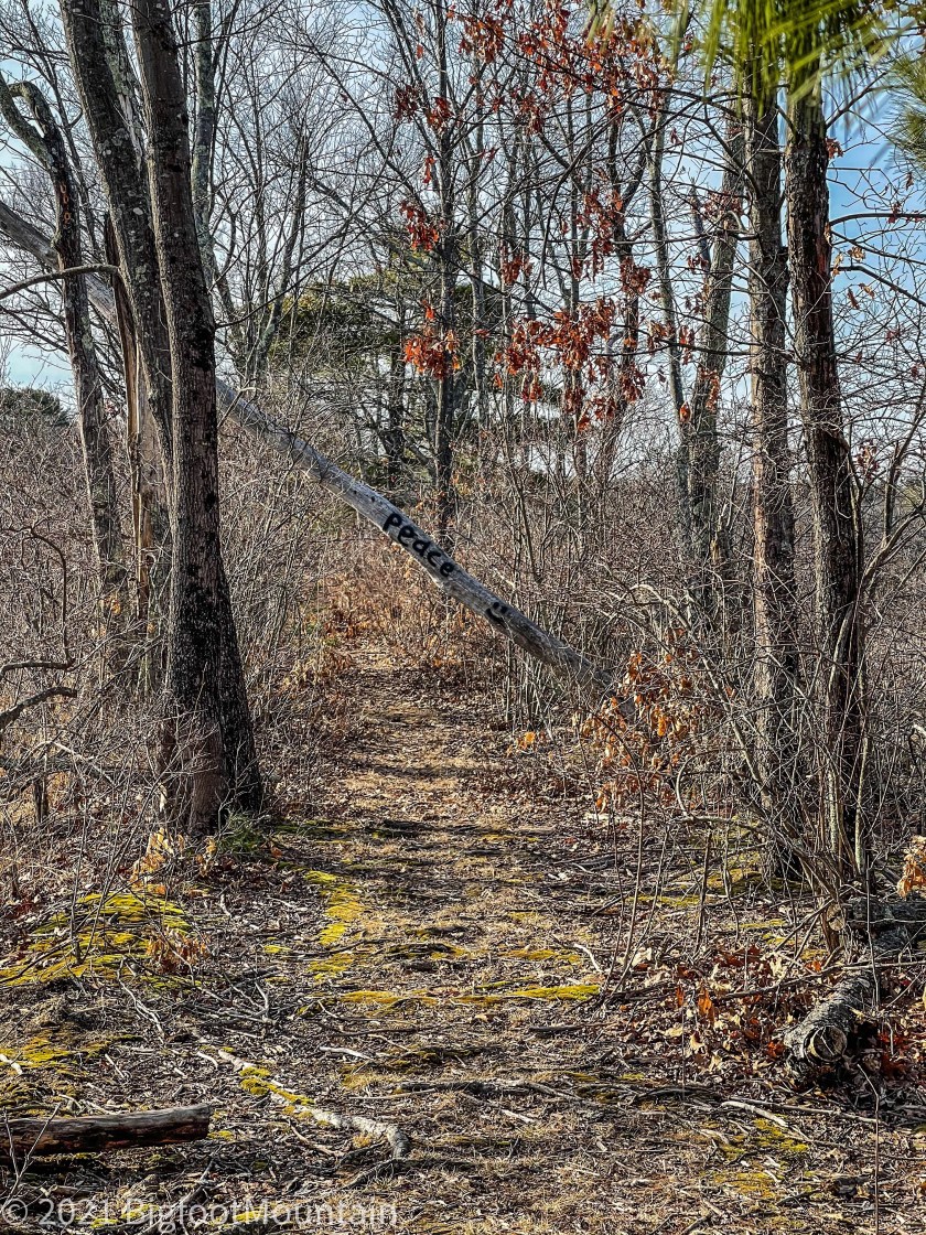
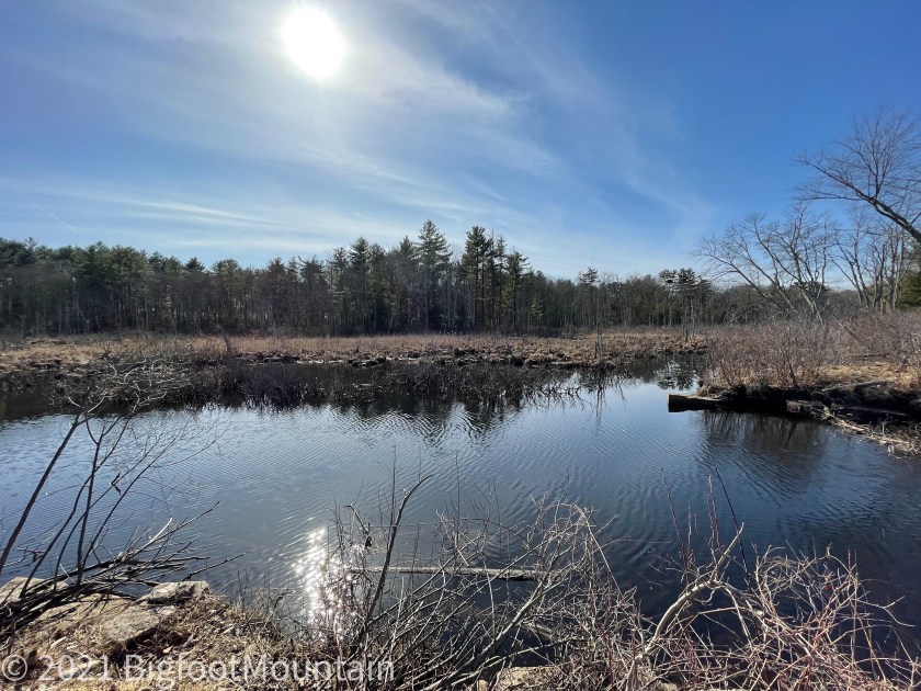
But you can keep going — by foot. That’s because this is the route of a former trolley line that linked Bellingham, Franklin, and other towns. And the remains of a causeway for the trolley extends out to the middle of the swamp.
At the “end” there is the swift flowing water of Mine Brook. And, across a 20 foot gap (guessing) is the rest of the causeway that leads up to Maple Street in Bellingham, which used to boast several mills and a cluster of worker homes.
After the trolleys went out of business around 1920, the tracks were puled up and the bridge and causeway was used occasionally by trucks from the mill carrying loads to the RR station in Franklin but it began to get overgrown.
When World War II began, there was a desperate need nationally for metals to build, tanks, ships. and a thousand other things. A local Franklin man saw the nearly abandoned bridge as a perfect money making opportunity and started to take it apart and haul off the girders to earn the scrap metal value for himself.
But when this became common knowledge he was critized by the townsfolks and so shamed that he supposedly killed himself, leaving the job unfinished. Today, you can still see 1 or 2 girders resting on the bottom of mine brook.”
—Alan
They say he may be haunting this path and bridge area now…
This trail/path is not on the town of Franklin Massachusetts trail list, but it is conservation land. Big thank you to my brother in law who drive me around Sunday showing me all the local trails and secret entrances and hidden factoids. This is definitely one of the most beautiful spots around and I’m claiming it…

All pictures are my own…
